Impact forecasts
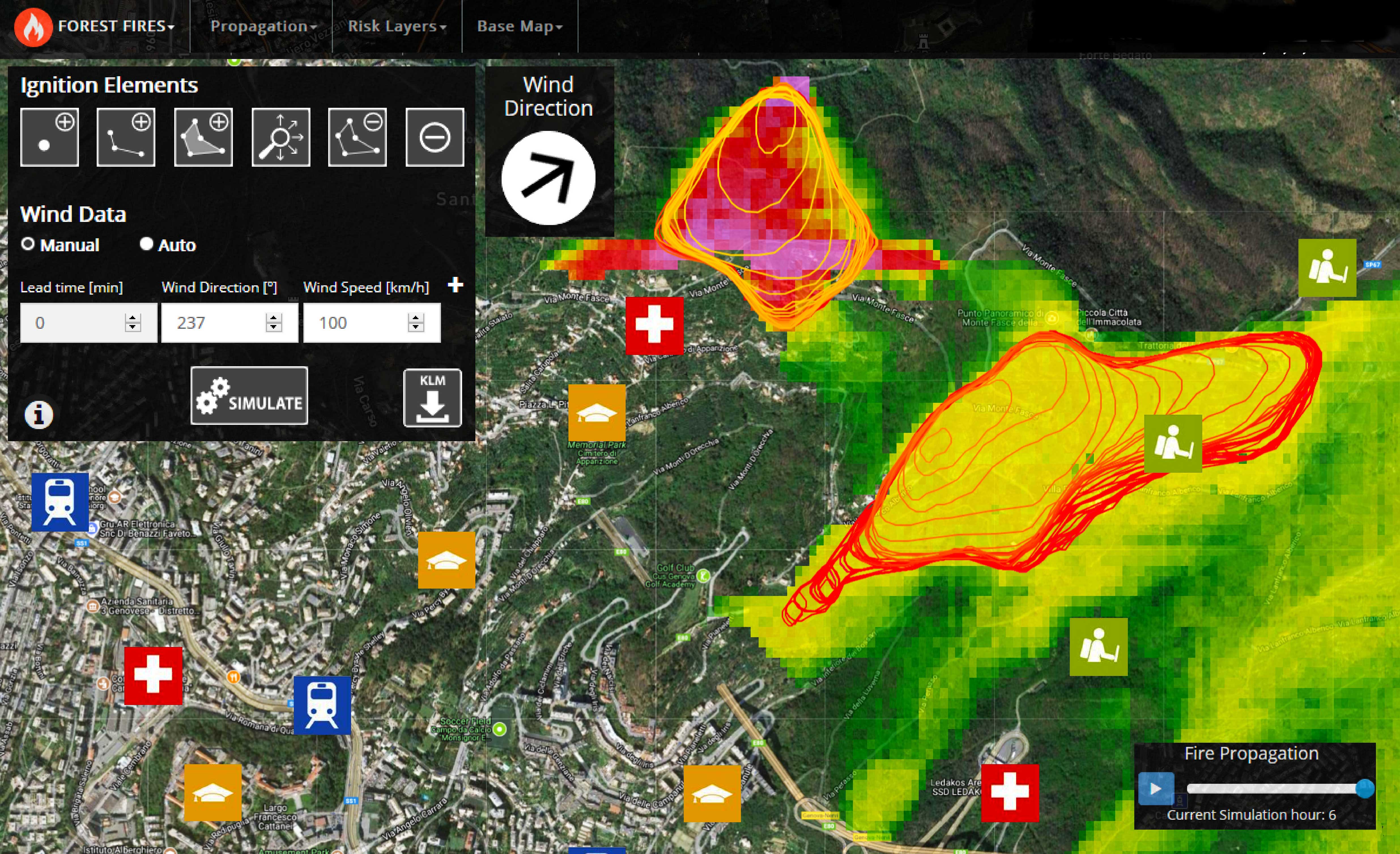
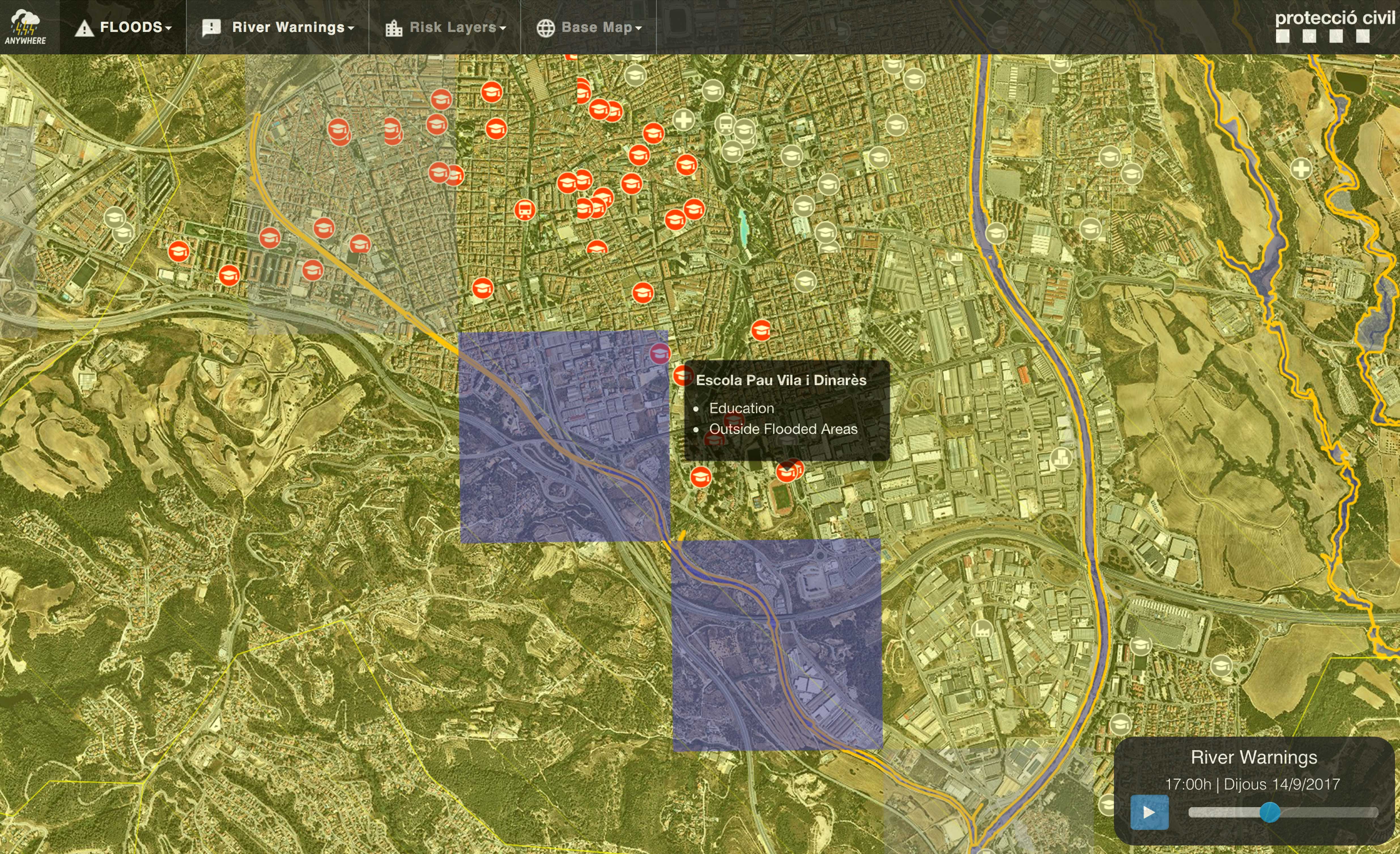
Impact forecasts provides us detailed information about the real impact on population, infrastructures and critical points for a given location and in a defined time frame.
The ANYWHERE project combines the hazard forecast with specific vulnerability and exposure information (according to the terrain characteristics and groups of people/infrastructures potentially affected) by means of artificial intelligence techniques, automatically providing with the impact forecasting for different kind of weather-induced hazards.

A variety of different layers such as critical points, flood-prone areas, etc. can be combined to better predict the real impact on the territory and population. Automatic warnings are issued according to the predicted impacts to allow PPDR organizations and citizens themselves adopting a proactive response to the eventual emergencies associated.

How are impact forecasts made:
Using artificial intelligence techniques to integrate the hazard impact forecasting products served by the Multi-Hazard Early Warning System (MH-EWS) with high resolution local impact models.
Combining them with the regional layers of exposure and vulnerability in the emergency command centres.
Transforming the emergency response from reactive to proactive.
