A4Cat
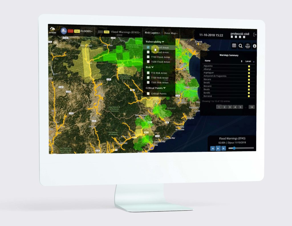
A4Cat is the implementation of the A4EU platform for Catalonia. This tool has been locally adapted to the specific needs and requirements of the Catalan civil protection system, emphasizing the risk of floods, forest fires, wind storms and snowfall.
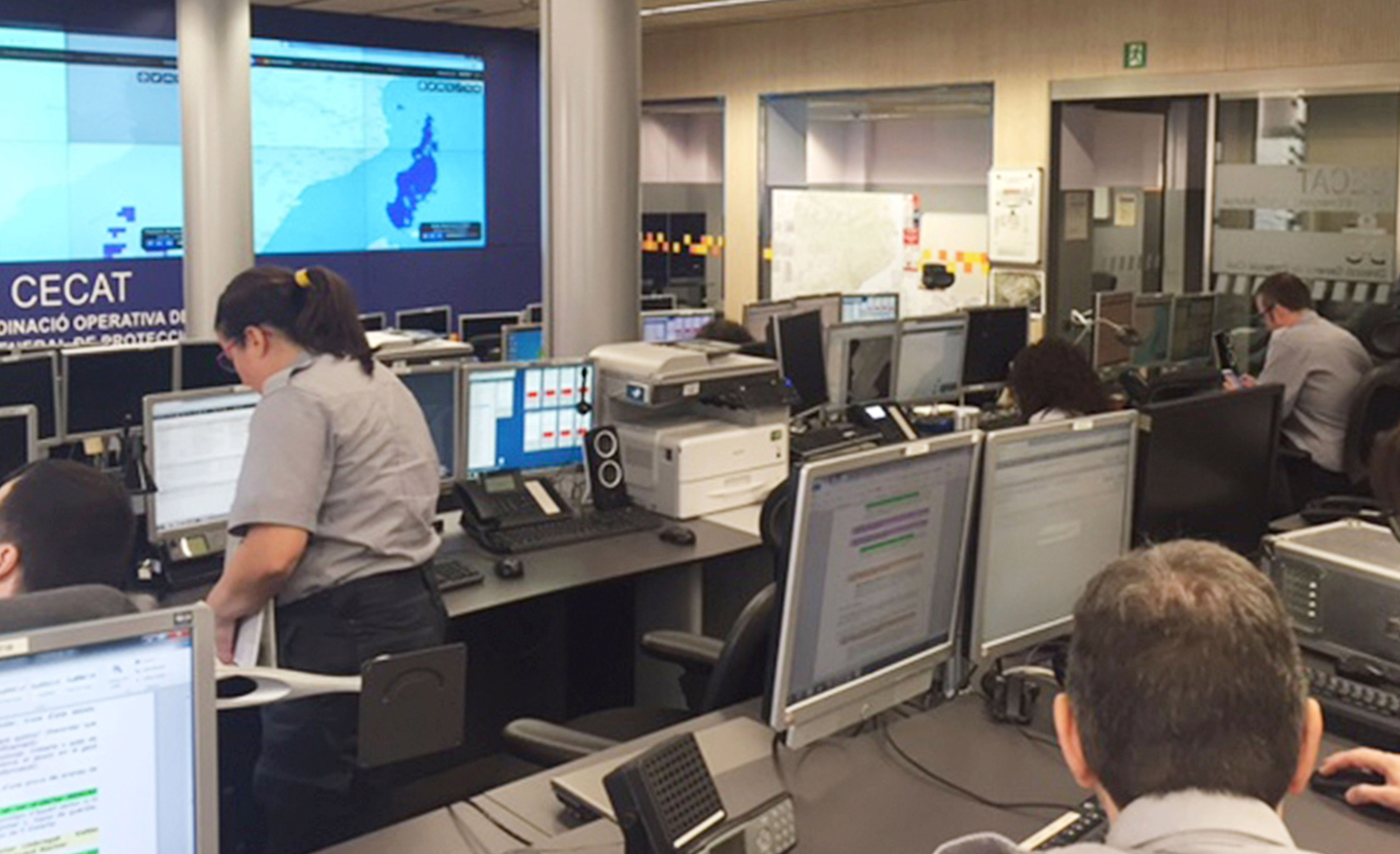
A4Cat provides the capacity of early-warning detection and proactive decision-making when facing extreme weather-related emergencies. This allows the CECAT (Catalunya Civil Protection Emergency Centre) to better manage such events, minimizing losses and saving lives.


“We’ve made a huge change of the way we deal emergency situations, specially in the case of floods, because now we are able to move forward and be advance to the impact, so we are able to alert citizens of one area to avoid damage. Previous to this tool we had to wait to the impact and have a rapid response but always after the impact.”
Sergio Delgado, Deputy-Director of Catalonia Civil Protection

Some of it is major operational capabilities are:
Connection to different sources of local hazard information in real time.
Capacity to cross the hazard impact forecasting products served by the ANYWHERE Multi-Hazard Early Warning System (MH-EWS) with high resolution impact models.
Combination with regional layers of exposure and vulnerability for flooding areas and critical elements for floods, forest fires and snow.
